Canada’s first three-glider mission maps whale habitat
Ocean Tracking Network:
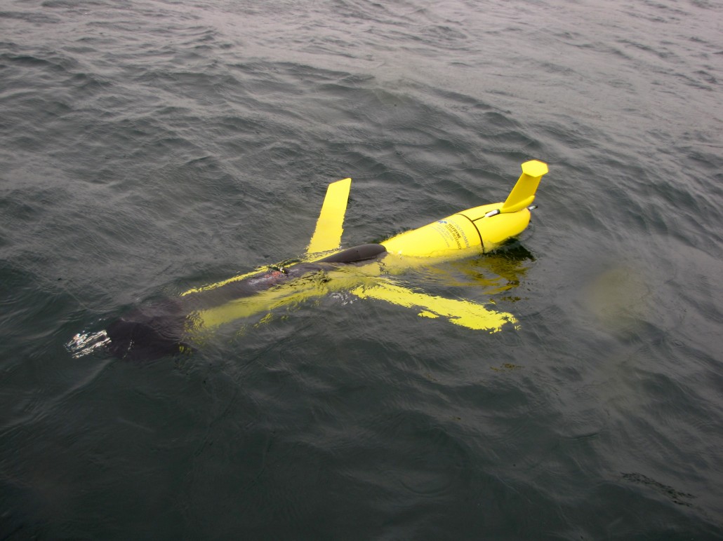
For the first time in Canada, a triple glider project has successfully mapped out critical gray whale habitat off the west coast of Vancouver Island. While previous missions have deployed one or two gliders, this Whales, Habitat, and Listening (WHaLe) project—funded by the Marine Environmental Observation, Prediction, and Response (MEOPAR)—is the first to fly three coordinated gliders.
In addition to the common suite of water property sensors—temperature, salinity and oxygen—the gliders on this mission carried a broadband hydrophone to identify and count whale vocalizations, an echo sounder to remotely quantify zooplankton biomass variability, and optical instrumentation identifying phytoplankton to elucidate the major components of the whale food chain. The University of British Columbia glider also carried a specialized Rockland Scientific sensor suite for measuring ocean turbulence, to better understand why submarine canyons create such favourable habitat for the whales.